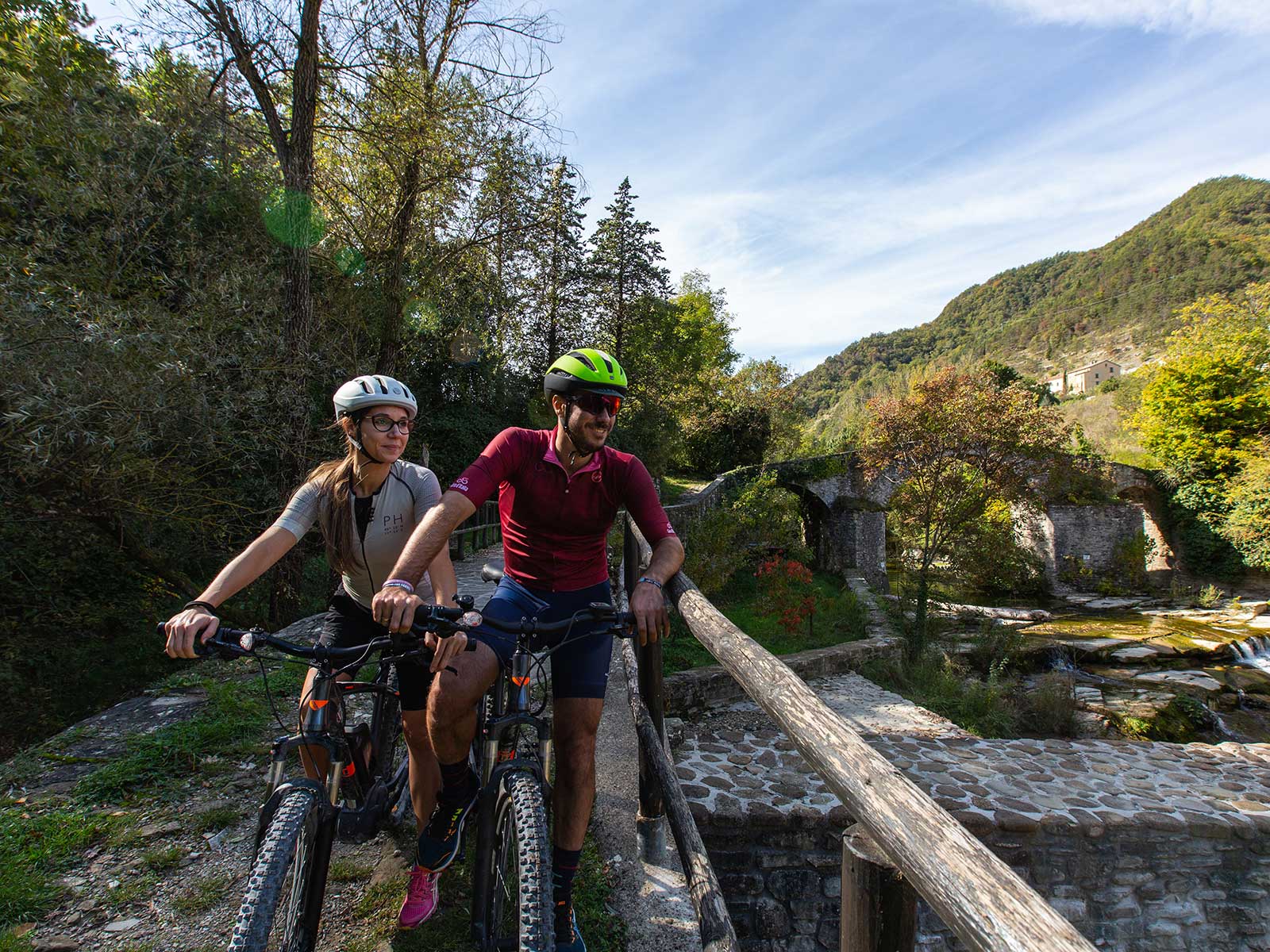
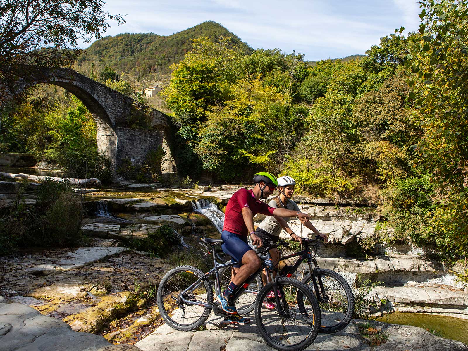
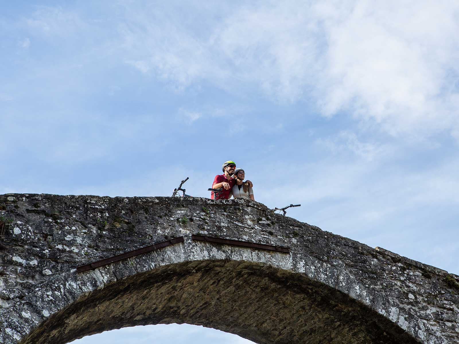
Alferello Waterfalls
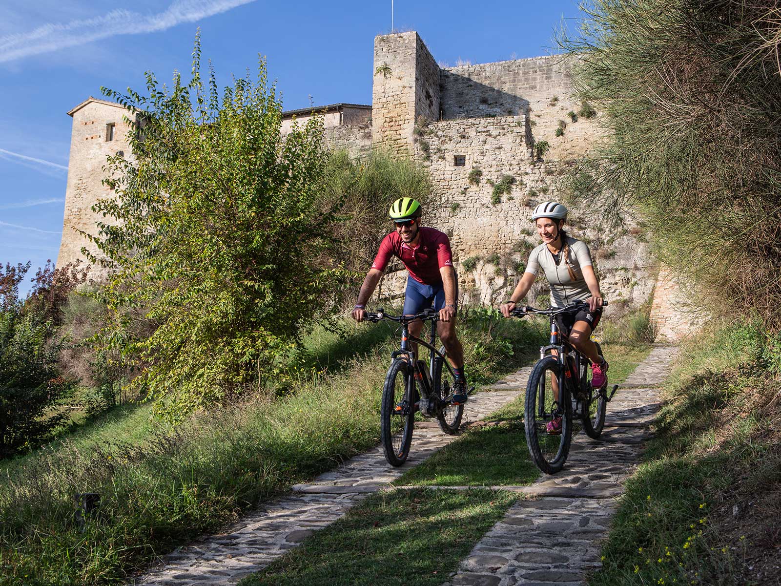
Itinerary: Alfero, Mazzi, Castelpriore, Capanne, Balze, Valico del Monte Fumaiolo, Alfero
A route suitable for those who love racing bikes and climbing. After a short downhill stretch from Alfero, the route takes you uphill to Monte Fumaiolo, at over 1300 metres above sea level, a green area which conceals the source of the River Tiber. Although not impossible, this climb must be approached with judgment: the more than 24 km of continuous changes in gradient could in fact create problems for you, especially in the summer months. But don’t worry! On the way back to Alfero you can enjoy a refreshing dip in the crystal clear waters of the Alferello Falls – you’ll also meet it on the outward route but we recommend a stop at the end of the tour!
Curiosities
The source of the Tiber
At an altitude of 1275 metres above sea level, in the locality of Vene del Tevere a small waterfall gives rise to the watercourse that after 406 km flows into the Tyrrhenian Sea. Originally there were two separate springs, but changes made with the idea of turning the place into a tourist pilgrimage destination transformed its natural conformation. The centuries-old beech forest surrounding the spring makes this corner of Monte Fumaiolo particularly suggestive.